/ 01
Building in 3D
Your facade, measured without scaffolding
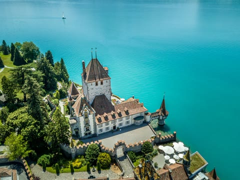
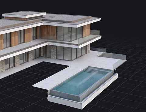
- Full flyover of the building
- Point cloud (LAS)
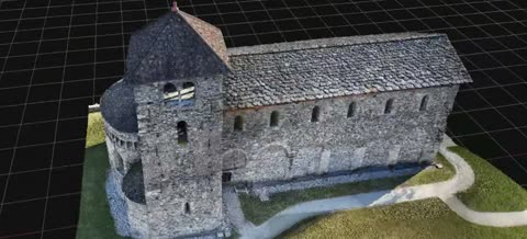
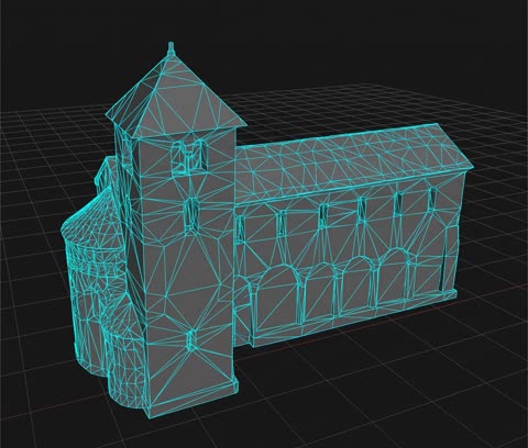
- Textured 3D model (OBJ)
- Flat façade views, taken from the 3D model
- 3D viewer in the browser
From400CHF
 DroneWeb
Photogrammetric surveying and drone inspection of structures. Point cloud, textured 3D model, façade orthophotos — to the centimetre, and ready for your engineering office to use.
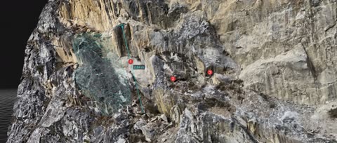
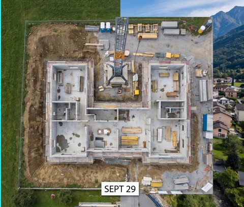
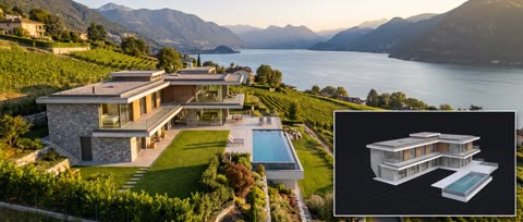
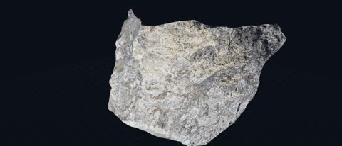
The same flight that produces your videos also produces measurements. With photogrammetry, every point of your building is captured with its real position and colour: from it we derive a 3D model you can explore, flat façade views, calculated volumes and a dated record of the site. A reference survey has already been carried out on a 92 × 44 × 59 m cliff — 3,959,103 points, March 2025.
Measure your building, your land or your site from your desk. Free quote within 24 h.
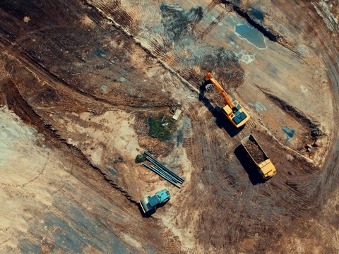
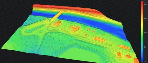
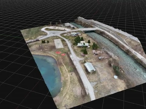
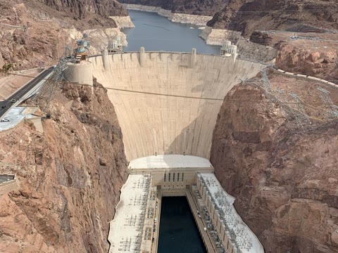
Your project doesn't fit any box? Get in touch: we'll put together a tailored offer.
Bespoke
Measure without climbing (façade height, roof area), show a project to a client or a municipality from every angle, give the architect a true picture of the existing state, and keep a dated record before works begin — invaluable in the event of a dispute.
Delivered as OBJ or 3D Tiles (model), LAS or PLY (point cloud), GeoTIFF (orthophoto, surface), DXF or SHP (contour lines), with a 3D viewer in the browser.
Because no two jobs in the same package are alike. The price shown is for a simple case; a site that is larger or harder to reach, or more deliverables, raise it. Travel is included anywhere in Ticino; large sites and jobs outside Ticino are on quotation. The exact price is written in the quote, before the job: nothing is added unless it appears there.
Coming soon, currently being tested. We will survey your points with RTK GPS and place targets on the site. The worker will film a target with their phone: the app will lock on and show the point and level to work to, to within 1–3 cm up to 10 m from a target. Ideal for earthworks; for a slab, the rotating laser is still the reference. After the works, a new flight will compare against the design: too-high / too-low map. It will be included in the 3D terrain, Inspection and Bespoke packages.
Optional. In the “Inspection of structures in real time” package (from 550 CHF per half-day on site), the live feed is extra (“Live stream” tier, from 700 CHF): the drone streams its images (720p) to your PC or laptop, and you tell us by phone what to film — an angle, a detail, a zoom. No need to travel.
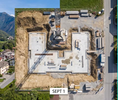
Yes: from 250 CHF per pass, with a minimum of 2 passes. Each pass follows the same flight paths as the previous one and delivers a dated orthomosaic, the map of changes against the previous pass and the calculated volumes. How often we fly is agreed with you, depending on how the site is progressing.
We take care of it. Most of our flights are in the open category, with no FOCA authorisation needed. Before every job, we check the map of restricted zones (airfields, hospitals, protected sites) and, when one is needed, we file the exemption request ourselves — allow a few extra days in that case. You have nothing to fill in.
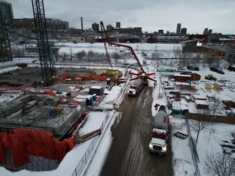
A bridge, a façade or a pylon can now be inspected without scaffolding, without a cherry picker and without interrupting operations. The 168 mm zoom reads a crack from a distance, with nobody climbing up.
Structural report, HD photos with 168 mm zoom, 3D model
168 mm zoom and report, no physical access
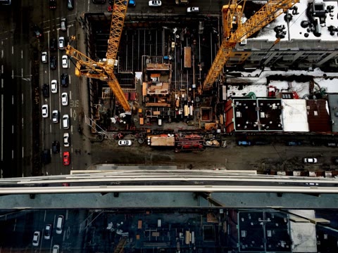
HD photos at regular intervals, 3D model, progress report
High definition, 168 mm zoom, report
With the D-RTK 3 station, every surveyed point is positioned to the centimetre, without ground control points laid by hand. What used to take a surveyor a day is flown in a few hours.
Centimetre accuracy, contour lines, DTM and orthomosaic — from under one hectare to 20 ha
3D model and volumetric analysis
As-built model and BIM deliverable
HD orthomosaic and crack detection
Based in Ticino, DroneWeb specialises in photogrammetric surveying, 3D modelling of buildings and structural inspection. Every job is run like a measurement: dated, verifiable deliverables, ready for an engineering office to use.
Cinewhoop and aerial shots: gliding through your rooms, along your façades, making people want to come — the same machine, another use.
The same contact for your images and your website: the build is free, you only pay the monthly subscription.